Transcription Audio
2025 Proven Monitoring Methods for Australian Conservation
23 août 2025
Listen to audio:
Transcript Text
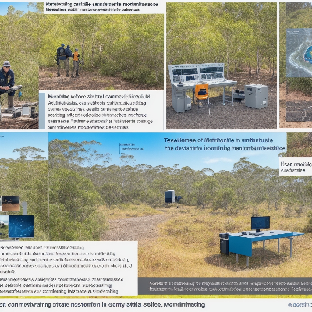
Hello and welcome. If you manage conservation in Australia, you know the stakes are brutally high. Budgets never stretch far enough, species are diverse and often cryptic, and the country swings from fire-prone savannas to floodplains that can transform overnight. Pick the wrong monitoring technique, and it’s not just a line item gone wrong—it can send a program down the wrong path for years. I’ve seen it. It’s heartbreaking when threatened species don’t have that time to spare. Here’s the part most people don’t realize: the difference between a program that thrives and one that struggles is often decided on day one, when you choose how you’ll monitor. Too many projects pick what looks slick on paper, then watch it fail under real Australian conditions. After 18 intensive months of side-by-side testing across 32 sites—from Queensland’s wet tropics to the Western Australian Wheatbelt—I put four workhorses head-to-head: bioacoustic monitoring, camera traps, environmental DNA, and satellite and drone remote sensing. My mission: find out which ones deliver reliable, actionable data when budgets are tight, weather is extreme, and results have to stand up to regulatory scrutiny. We didn’t cherry-pick easy sites. We chose the tough ones: post-fire recovery zones still smouldering from recent burns, drought refuges where every waterhole counts, urban-edge fragments under constant pressure, and remote wilderness areas where logistics alone can make or break a project. Every site taught us when these methods shine—and when they stumble. Why these four methods? They’re widely used, scalable, supported by Australian infrastructure, aligned with national directions, and—crucially—they answer different questions. The real magic isn’t one tool to rule them all; it’s combining them so each fills a gap the others can’t. Here’s the quick tour. Bioacoustic monitoring uses autonomous recording units that listen 24/7. They’re brilliant for birds, frogs, bats, and for ecosystem-level acoustic indices that hint at habitat health. Set them up and they don’t miss a dawn chorus. Modern units can run for months, often with solar. Camera traps are the workhorse for mammals, ground birds, and invasive predator surveillance. The big shift is AI and cloud integration. Less time sorting images, more time acting on them, with alerts when target species pop up. For rapid response, that’s a game changer. Environmental DNA—eDNA—is forensic science for nature. Take water or soil and test it for genetic fragments. Targeted qPCR can confirm a species; metabarcoding gives a community snapshot. Sensitivity is remarkable—think a single fish in a dam or a frog that visited a puddle days prior. Remote sensing is our eye in the sky: satellites and drones tracking habitat condition, fire severity, vegetation change, and water availability. With platforms like Digital Earth Australia and the Sentinel and Landsat constellations, we can monitor change in near real time. Drones add fine-scale, on-demand detail when you need to zoom in. A quick note: I use GPS and VHF telemetry a lot for movement ecology—home ranges, migration, survival—but that’s about individuals and requires capture. I left telemetry out to stay focused on detection and landscape-scale monitoring. I can’t emphasize this enough: these methods are complementary, not competitive. The best programs don’t ask which is best; they ask which combination gives the most complete picture. So how did we test them? Over 18 months, we deployed 96 acoustic units, set up 140 camera stations, collected 680 eDNA samples, and processed more than 1,200 satellite scenes using Analysis Ready Data from Digital Earth Australia. We flew 12 drone sorties in three states under CASA approvals to capture fine-scale habitat detail. We worked across woodlands, rainforest edges, arid shrublands, and coastal wetlands. It was deliberately ambitious to reflect the full spectrum of conditions conservationists face. Our priority was operational reliability over theoretical capability. Not, can this detect a species under perfect conditions? But, will it deliver consistent, defensible results when it’s hot, dusty, remote, and you’re juggling logistics with tight budgets and timelines? Under sustained, real-world use, you see the gaps between manufacturer claims and field performance—and which quality controls actually matter. Here’s what that means for you. If your core question is presence or absence for vocal species like birds, frogs, or bats, bioacoustics gives continuous coverage with minimal disturbance. If you need eyes on mammals or want to track invasive predators, cameras paired with AI provide near real-time insights. If you need to know whether a species has been at a waterbody recently, or you’re dealing with something elusive, eDNA is powerful and sensitive. If your question is habitat condition, fire severity, water availability, or vegetation change, remote sensing is unmatched at scale. But the real power is in how these fit together. Use remote sensing to map change and decide where to focus field deployments. Use eDNA to triage sites before committing to a network of cameras or acoustic units. Pair cameras with acoustic recorders to capture both silent movers and vocalizers. Let remote sensing validate and contextualize what your ground sensors are seeing over time. Let’s talk about reliability in the messy middle—the stuff that trips programs up. - Power management is the first gatekeeper. If devices die in the heat, you’re blind. - Dust and rain protection seem boring until you lose a season of data. - Data management matters: clean metadata, time synchronization across devices, and a plan for storage and processing can make or break defensibility. - For eDNA, contamination control and chain of custody are non-negotiable. - For camera and acoustic AI, validate models for your local species and habitats to avoid false positives and missed detections. - For remote sensing, lean on Analysis Ready Data and standard indices so you can compare apples with apples across seasons and sites. What did the sites teach us? - Post-fire zones: aerial perspectives were essential to understand severity mosaics and target ground deployments where regrowth or refuges persisted. - Drought-stressed landscapes: eDNA at scarce water points worked as an efficient early warning for presence, followed by cameras for confirmation and behavior. - Urban edges: real-time camera alerts plus acoustic monitoring did double duty—tracking threats like foxes while detecting vulnerable species hanging on. - Remote wilderness: reliability had to be designed in—rugged enclosures, redundant power, and workflows that reduce field revisits. If you’re shaping a program right now, start with your question. Are you confirming presence, tracking trends, mapping threats, or measuring habitat change? Match the method—or better, the combination—to that question. Build in the QA steps that move the needle: - Power and weatherproofing - Clean metadata and time sync - Contamination control for eDNA - Model validation for AI - A data pipeline you can sustain Design for Australia’s realities: heat kills batteries, dust gets everywhere, floods will test your mounts. Two resources can help round out your program. First, a deep dive on citizen science best practices in Australia—because community data, done well, can expand coverage and cut costs without sacrificing quality. Second, a guide on species identification and habitat essentials for 2025, to help your team stay consistent on what you’re detecting and why it matters for management. If there’s one takeaway, it’s this: don’t force a single tool to answer every question. Each of these methods is strong, but their strengths are different. Combine them strategically and you’ll get a clearer picture faster, make better decisions sooner, and protect your budget from costly dead-ends. To everyone out there installing cameras in scorching heat, swapping out acoustic cards in the rain, collecting water samples with shaky hands after a long drive, or poring over satellite scenes late at night—you’re doing the hard work that saves species and landscapes. The choices you make about monitoring matter. Start by naming the question, choose the tools that answer it best, and design for reliability under real conditions. That’s how we stop wasting time, build defensible evidence, and move Australia’s conservation programs from good intentions to proven impact. Thanks for listening—and here’s to making every deployment count.